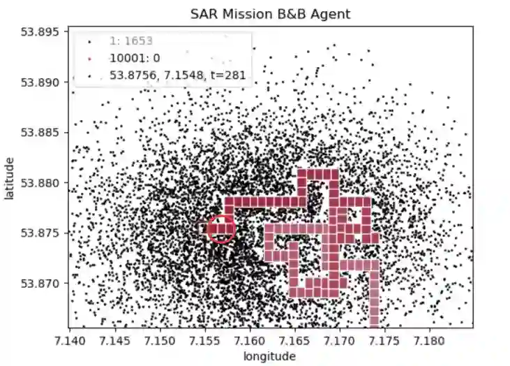
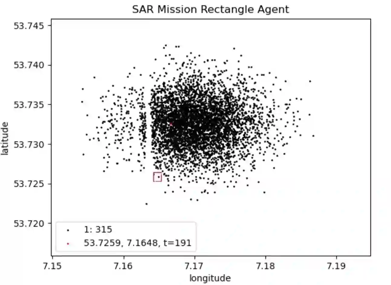
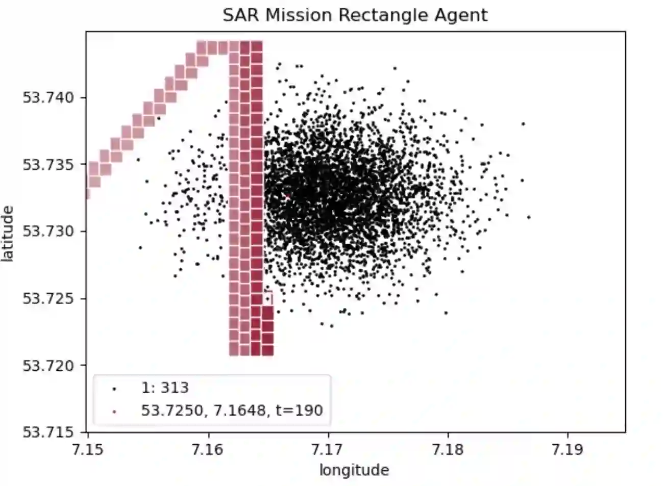
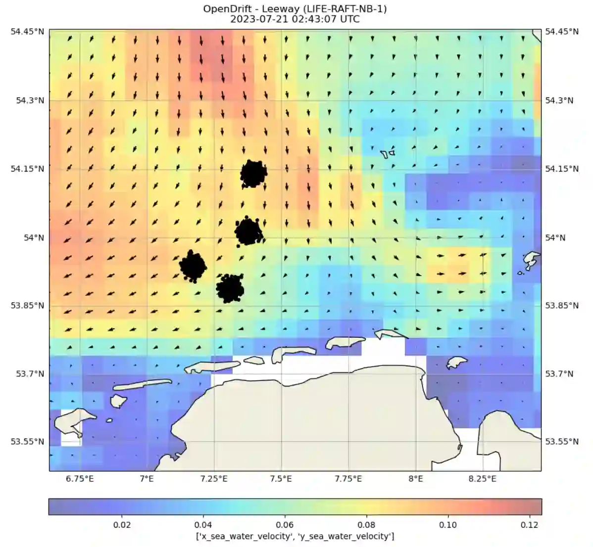
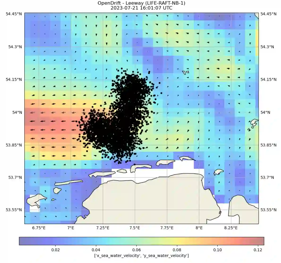
Unmanned Aerial Vehicles (UAVs) are emerging as very important tools in search and rescue (SAR) missions at sea, enabling swift and efficient deployment for locating individuals or vessels in distress. The successful execution of these critical missions heavily relies on effective path planning algorithms that navigate UAVs through complex maritime environments while considering dynamic factors such as water currents and wind flow. Furthermore, they need to account for the uncertainty in search target locations. However, existing path planning methods often fail to address the inherent uncertainty associated with the precise location of search targets and the uncertainty of oceanic forces. In this paper, we develop a framework to develop and investigate trajectory planning algorithms for maritime SAR scenarios employing UAVs. We adopt it to compare multiple planning strategies, some of them used in practical applications by the United States Coast Guard. Furthermore, we propose a novel planner that aims at bridging the gap between computation heavy, precise algorithms and lightweight strategies applicable to real-world scenarios.
翻译:无人机正在成为海上搜救任务中极为重要的工具,能够快速高效地部署以定位遇险人员或船只。这些关键任务的成功执行高度依赖于有效的路径规划算法,这些算法需引导无人机穿越复杂的海洋环境,同时考虑水流和风场等动态因素。此外,它们还需要应对搜索目标位置的不确定性。然而,现有路径规划方法往往未能解决与搜索目标精确位置相关的不确定性以及海洋力量的不确定性。本文开发了一个框架,用于研究面向无人机海事搜救场景的轨迹规划算法。我们将其应用于多种规划策略的比较,其中部分策略已在美国海岸警卫队的实际应用中使用。此外,我们提出了一种新型规划器,旨在弥合计算密集型精确算法与适用于现实场景的轻量级策略之间的差距。