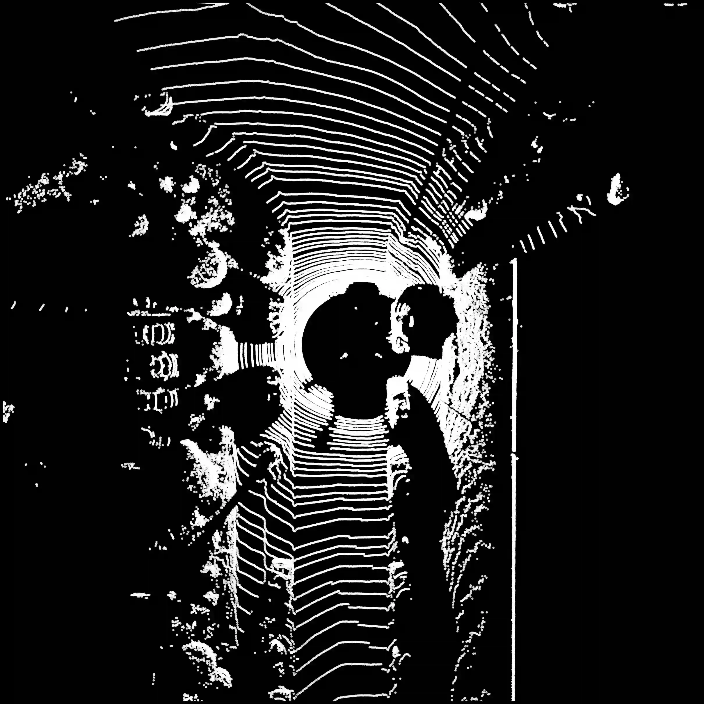
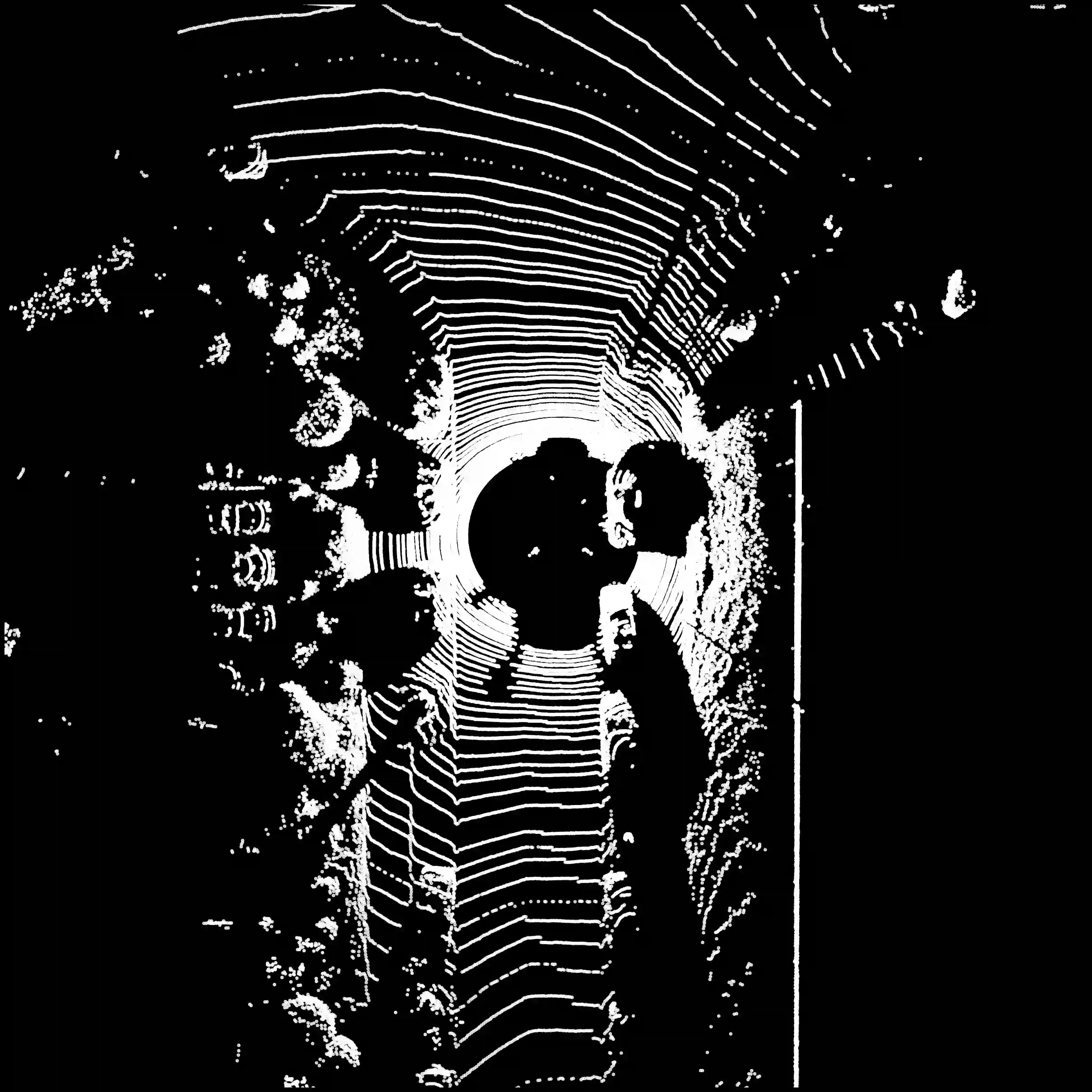
3D LiDAR sensors are essential for autonomous navigation, environmental monitoring, and precision mapping in remote sensing applications. To efficiently process the massive point clouds generated by these sensors, LiDAR data is often projected into 2D range images that organize points by their angular positions and distances. While these range image representations enable efficient processing, conventional projection methods suffer from fundamental geometric inconsistencies that cause irreversible information loss, compromising high-fidelity applications. We present ALICE-LRI (Automatic LiDAR Intrinsic Calibration Estimation for Lossless Range Images), the first general, sensor-agnostic method that achieves lossless range image generation from spinning LiDAR point clouds without requiring manufacturer metadata or calibration files. Our algorithm automatically reverse-engineers the intrinsic geometry of any spinning LiDAR sensor by inferring critical parameters including laser beam configuration, angular distributions, and per-beam calibration corrections, enabling lossless projection and complete point cloud reconstruction with zero point loss. Comprehensive evaluation across the complete KITTI and DurLAR datasets demonstrates that ALICE-LRI achieves perfect point preservation, with zero points lost across all point clouds. Geometric accuracy is maintained well within sensor precision limits, establishing geometric losslessness with real-time performance. We also present a compression case study that validates substantial downstream benefits, demonstrating significant quality improvements in practical applications. This paradigm shift from approximate to lossless LiDAR projections opens new possibilities for high-precision remote sensing applications requiring complete geometric preservation.
翻译:三维LiDAR传感器对于自主导航、环境监测以及遥感应用中的精密测绘至关重要。为高效处理这些传感器生成的海量点云,LiDAR数据常被投影至二维距离图像中,通过点的角度位置和距离进行组织。尽管这种距离图像表示方式实现了高效处理,但传统投影方法存在固有的几何不一致性,导致不可逆的信息损失,从而影响高保真度应用。本文提出ALICE-LRI(用于无损距离图像的自动LiDAR内参标定估计),这是首个通用的、与传感器无关的方法,能够在无需制造商元数据或标定文件的情况下,从旋转式LiDAR点云实现无损距离图像生成。我们的算法通过推断激光束配置、角度分布以及每束激光的标定校正等关键参数,自动逆向推导任意旋转式LiDAR传感器的内参几何结构,从而实现无损投影和零点数损失的完整点云重建。在完整的KITTI和DurLAR数据集上的综合评估表明,ALICE-LRI实现了完美的点保留,所有点云均无点数损失。几何精度被严格保持在传感器精度极限内,在实时性能下确立了几何无损性。我们还提供了一个压缩案例研究,验证了其带来的显著下游效益,展示了在实际应用中的重大质量提升。这种从近似到无损的LiDAR投影范式转变,为需要完整几何保留的高精度遥感应用开辟了新的可能性。