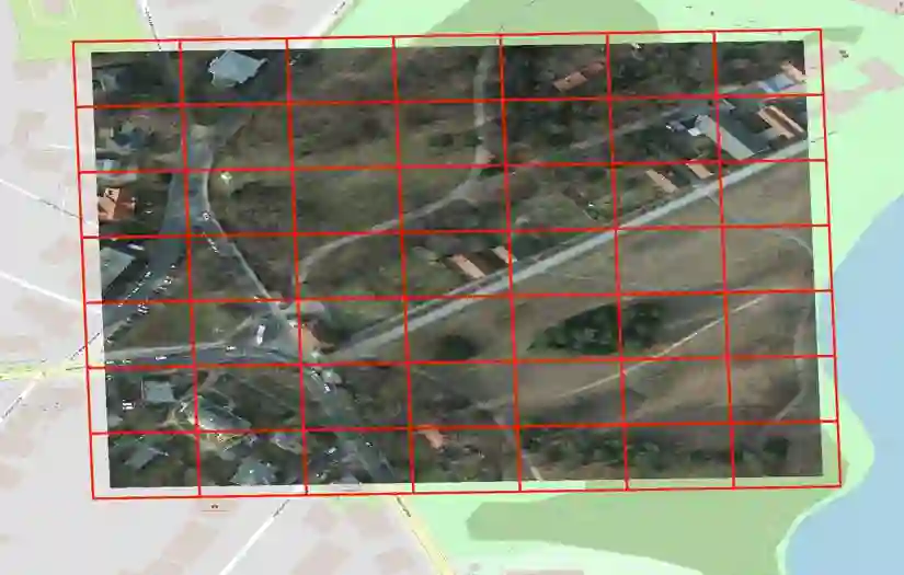
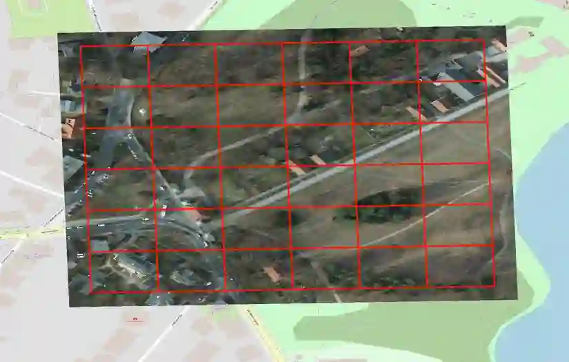
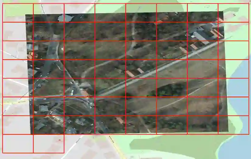
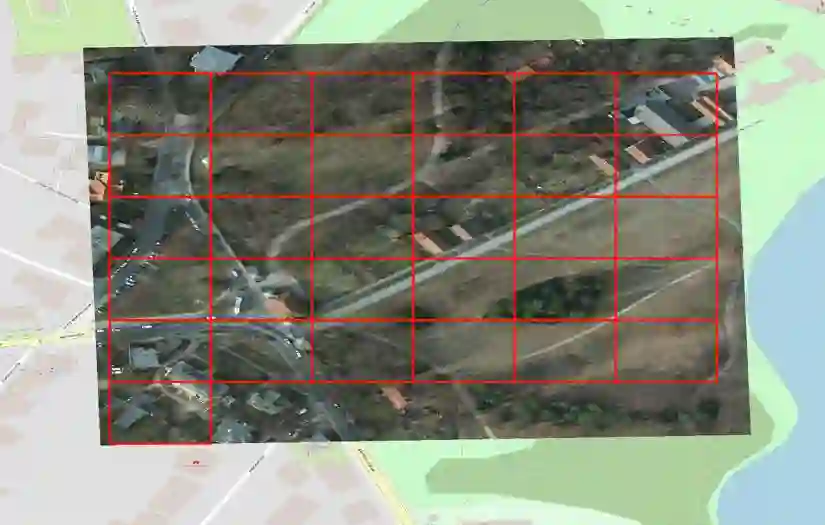
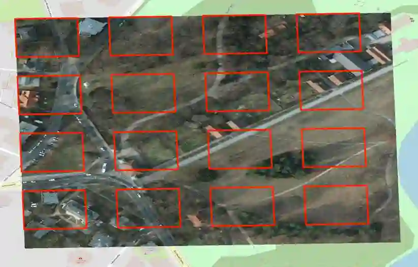
To cope with the high requirements during the computation of semantic segmentations of earth observation imagery, current state-of-the-art pipelines divide the corresponding data into smaller images. Existing methods and benchmark datasets oftentimes rely on pixel-based tiling schemes or on geo-tiling schemes employed by web mapping applications. The selection of subimages (comprising size, location and orientation) is crucial. It affects the available context information of each pixel, defines the number of tiles during training, and influences the degree of information degradation while down- and up-sampling the tile contents to the size required by the segmentation model. We propose a new segmentation pipeline for earth observation imagery relying on a tiling scheme that creates geo-tiles based on the geo-information of the raster data. This approach exhibits several beneficial properties compared to pixel-based or common web mapping approaches. The proposed tiling scheme shows flexible customization properties regarding tile granularity, tile stride and image boundary alignment. This allows us to perform a tile specific data augmentation during training and a substitution of pixel predictions with limited context information using data of overlapping tiles during inference. The generated tiles show a consistent spatial tile extent w.r.t. heterogeneous sensors, varying recording distances and different latitudes. We demonstrate how the proposed tiling system allows to improve the results of current state-of-the-art semantic segmentation models. To foster future research we make the source code publicly available.
翻译:针对地球观测影像语义分割计算中的高要求,当前先进处理流程将相应数据分割为更小图像。现有方法与基准数据集常依赖基于像素的切片方案或网络地图应用采用的地理瓦片方案。子图像(包含尺寸、位置与方向)的选择至关重要:它影响每个像素的可用上下文信息,定义训练过程中的瓦片数量,并在将瓦片内容下采样/上采样至分割模型所需尺寸时影响信息退化程度。我们提出一种依赖切片方案的地球观测影像新分割流程,该方案基于栅格数据的地理信息创建地理瓦片。相较于基于像素或常见网络地图方法,此方法展现出多项优势。所提切片方案在瓦片粒度、步长及图像边界对齐方面具有灵活的自定义特性,使得训练时可进行瓦片特定数据增强,推理时可用重叠瓦片数据替代上下文信息有限的像素预测。生成的瓦片对不同传感器、变化记录距离及不同纬度保持一致的空间瓦片范围。我们展示了该切片系统如何改进当前先进语义分割模型的结果。为促进后续研究,我们已将源代码公开发布。