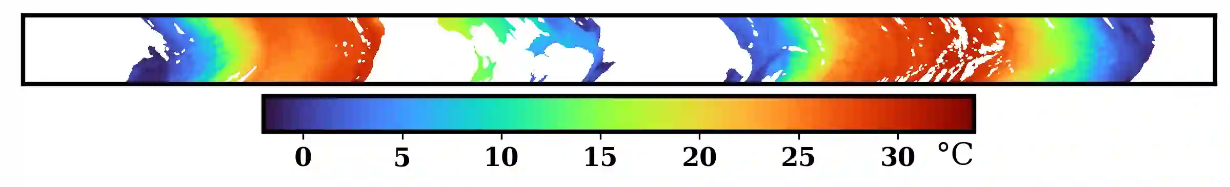
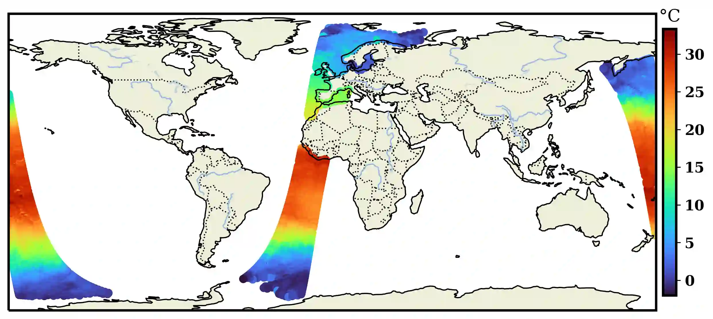
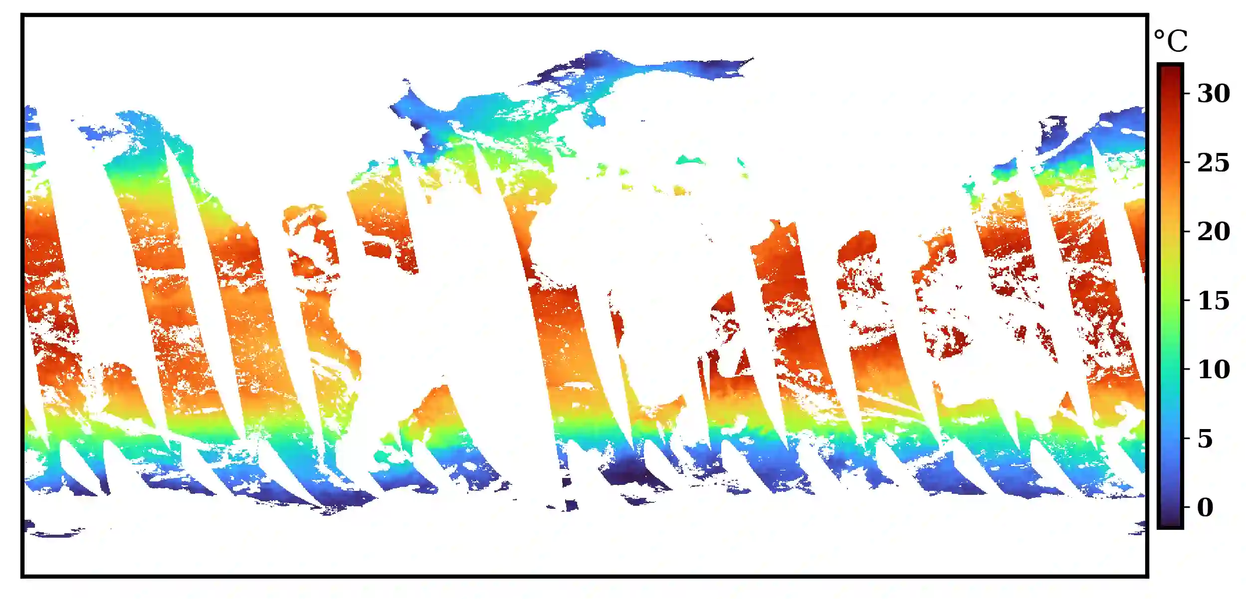
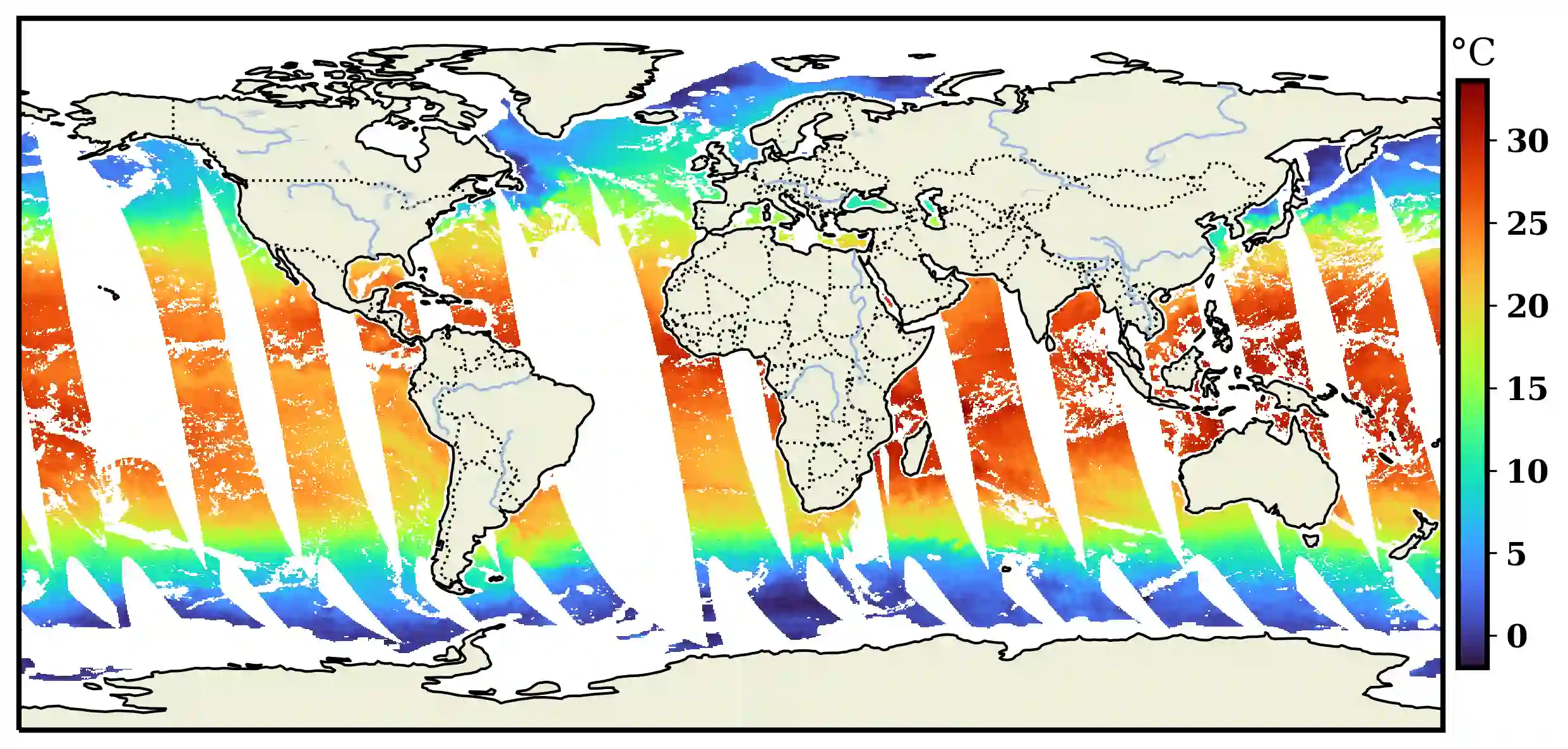
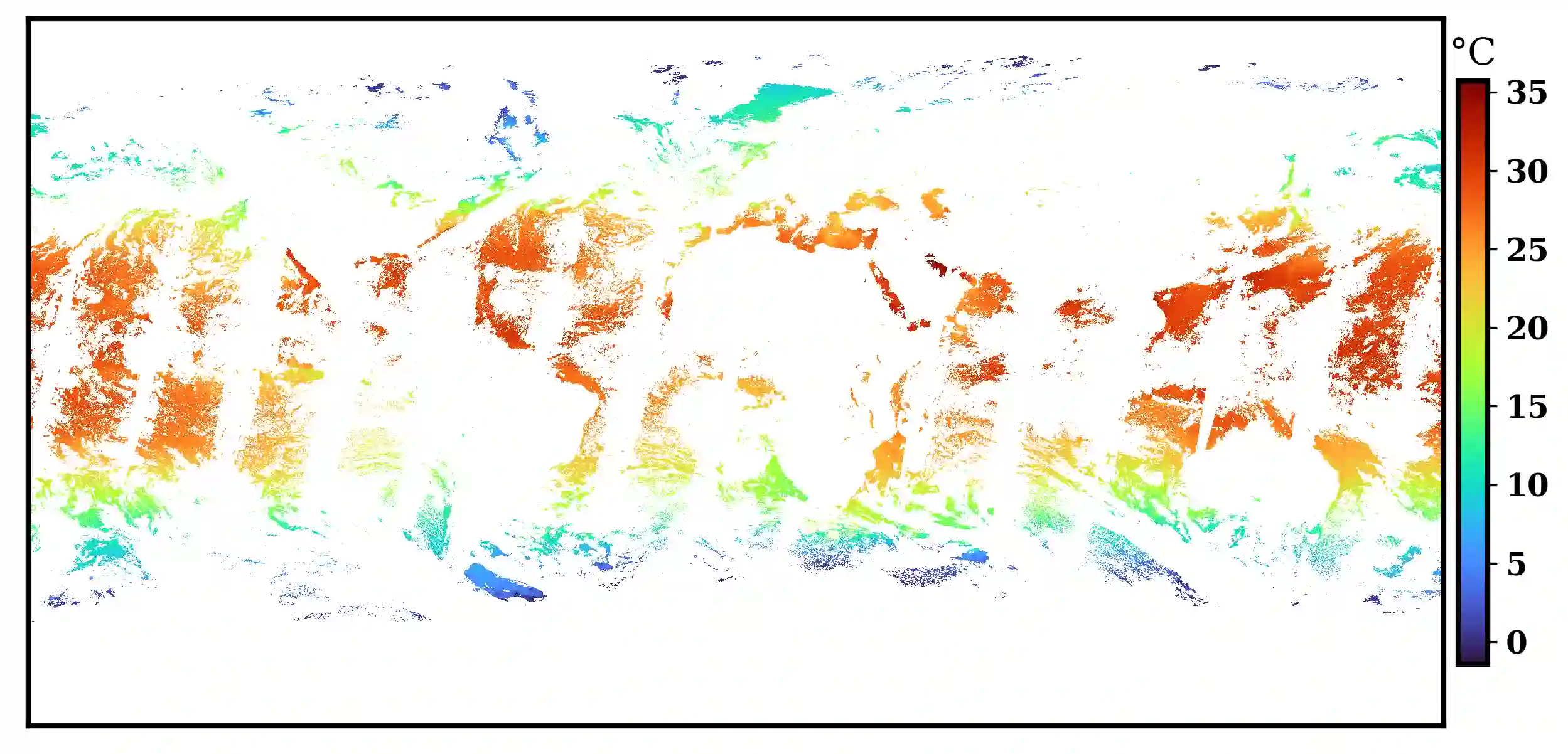
Sea surface temperature (SST) is an essential climate variable that can be measured via ground truth, remote sensing, or hybrid model methodologies. Here, we celebrate SST surveillance progress via the application of a few relevant technological advances from the late 20th and early 21st century. We further develop our existing water cycle observation framework, Flux to Flow (F2F), to fuse AMSR-E and MODIS into a higher resolution product with the goal of capturing gradients and filling cloud gaps that are otherwise unavailable. Our neural network architecture is constrained to a deep convolutional residual regressive neural network. We utilize three snapshots of twelve monthly SST measurements in 2010 as measured by the passive microwave radiometer AMSR-E, the visible and infrared monitoring MODIS instrument, and the in situ Argo dataset ISAS. The performance of the platform and success of this approach is evaluated using the root mean squared error (RMSE) metric. We determine that the 1:1 configuration of input and output data and a large observation region is too challenging for the single compute node and dcrrnn structure as is. When constrained to a single 100 x 100 pixel region and a small training dataset, the algorithm improves from the baseline experiment covering a much larger geography. For next discrete steps, we envision the consideration of a large input range with a very small output range. Furthermore, we see the need to integrate land and sea variables before performing computer vision tasks like those within. Finally, we see parallelization as necessary to overcome the compute obstacles we encountered.
翻译:海表温度(SST)是可通过地面实测、遥感或混合模型方法测量的关键气候变量。本文借助20世纪末至21世纪初若干相关技术进步,对海表温度监测进展予以评述。我们进一步改进现有水循环观测框架"通量到流(F2F)",将AMSR-E与MODIS数据融合为更高分辨率的产品,旨在捕捉原本不可获取的梯度并填补云层遮挡区域。所采用的神经网络架构被约束为深度卷积残差回归神经网络。我们利用2010年三个时相的十二个月度SST测量数据——分别由被动微波辐射计AMSR-E、可见光与红外监测仪MODIS以及原位Argo数据集ISAS获取——展开研究。采用均方根误差(RMSE)指标评估平台性能及方法有效性。结果表明:对于单个计算节点及当前dcrrnn结构而言,输入与输出数据1:1配置及大范围观测区域存在显著挑战。当约束至100×100像素区域及小规模训练数据集时,算法性能较覆盖更大地理范围的基准实验有所提升。后续离散步骤中,我们计划探索大范围输入与极小范围输出的配置方案。此外,在执行此类计算机视觉任务前,需整合陆地与海洋变量。最后,我们认为并行化是克服当前计算瓶颈的必要手段。