

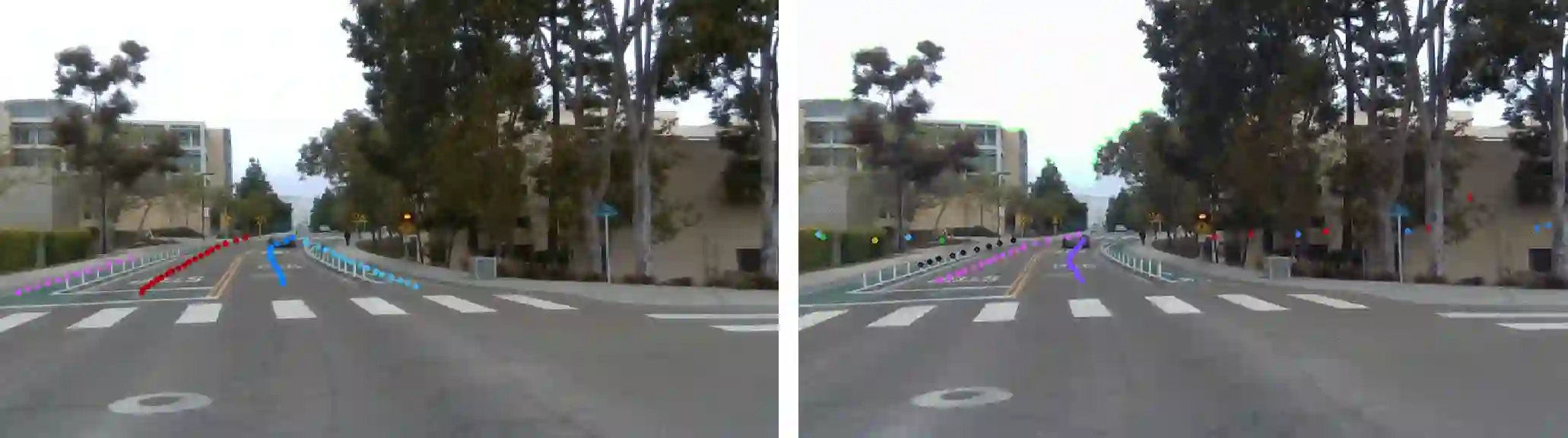
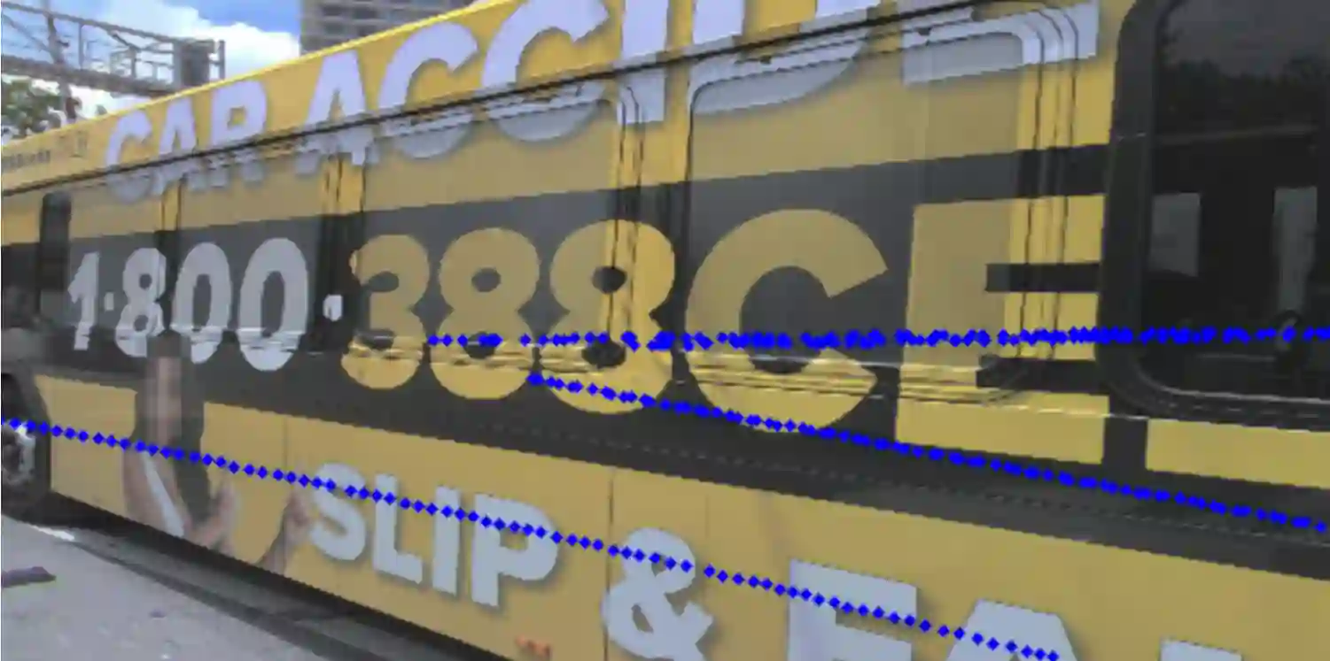
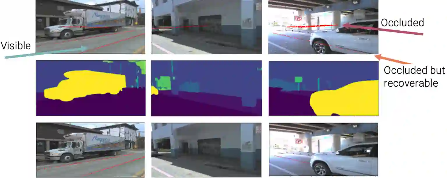
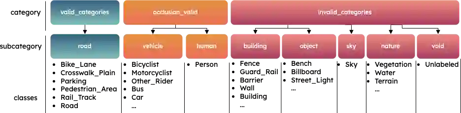
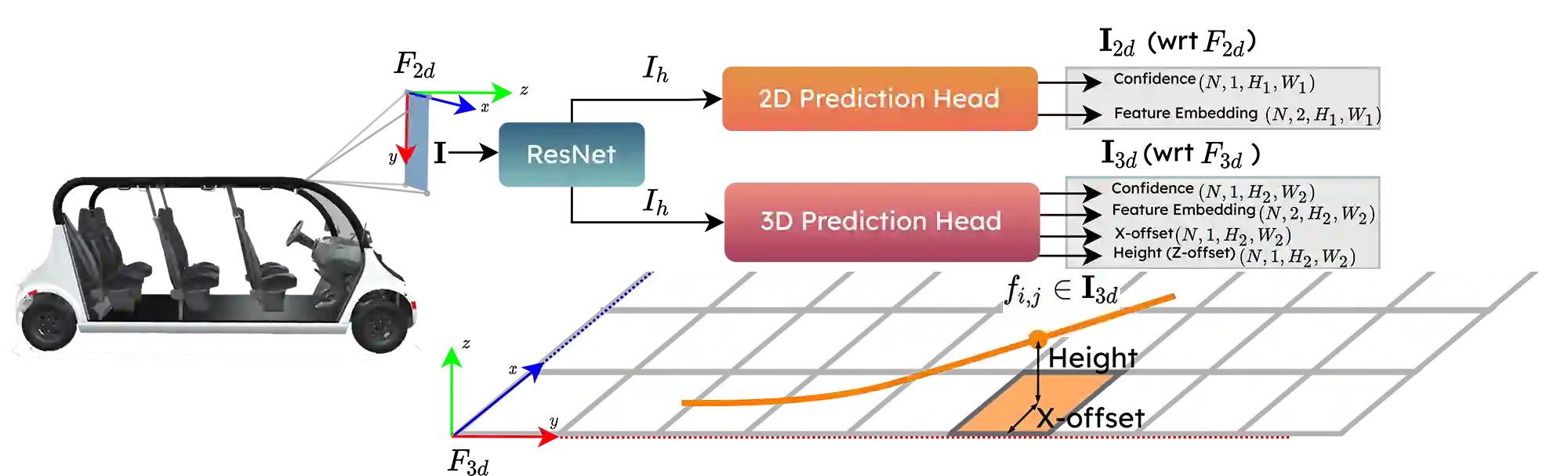
This research work seeks to explore and identify strategies that can determine road topology information in 2D and 3D under highly dynamic urban driving scenarios. To facilitate this exploration, we introduce a substantial dataset comprising nearly one million automatically labeled data frames. A key contribution of our research lies in developing an automatic label-generation process and an occlusion handling strategy. This strategy is designed to model a wide range of occlusion scenarios, from mild disruptions to severe blockages. Furthermore, we present a comprehensive ablation study wherein multiple centerline detection methods are developed and evaluated. This analysis not only benchmarks the performance of various approaches but also provides valuable insights into the interpretability of these methods. Finally, we demonstrate the practicality of our methods and assess their adaptability across different sensor configurations, highlighting their versatility and relevance in real-world scenarios. Our dataset and experimental models are publicly available.
翻译:本研究旨在探索并确定在高度动态的城市驾驶场景中获取2D与3D道路拓扑信息的策略。为促进此探索,我们引入了一个包含近百万个自动标注数据帧的大型数据集。本研究的关键贡献在于开发了一种自动标签生成流程及遮挡处理策略。该策略旨在模拟从轻微干扰到严重遮挡的多种遮挡场景。此外,我们通过全面的消融研究,开发并评估了多种中心线检测方法。该分析不仅基准测试了各方法的性能,还为其可解释性提供了宝贵见解。最后,我们展示了所提方法的实用性,并评估了其在不同传感器配置下的适应性,突显了其在真实场景中的通用性与相关性。我们的数据集与实验模型均公开可用。




相关内容




 微信扫码咨询专知VIP会员