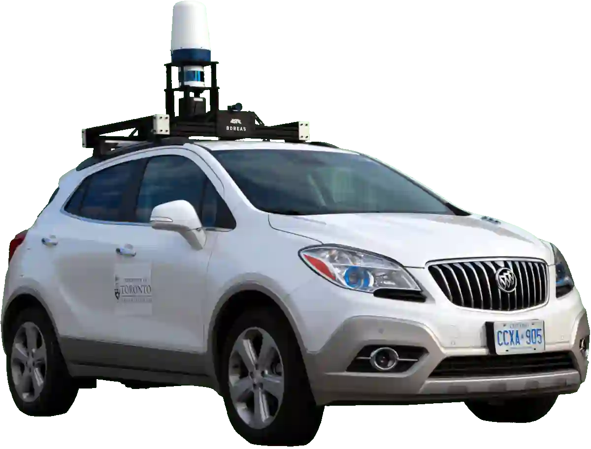
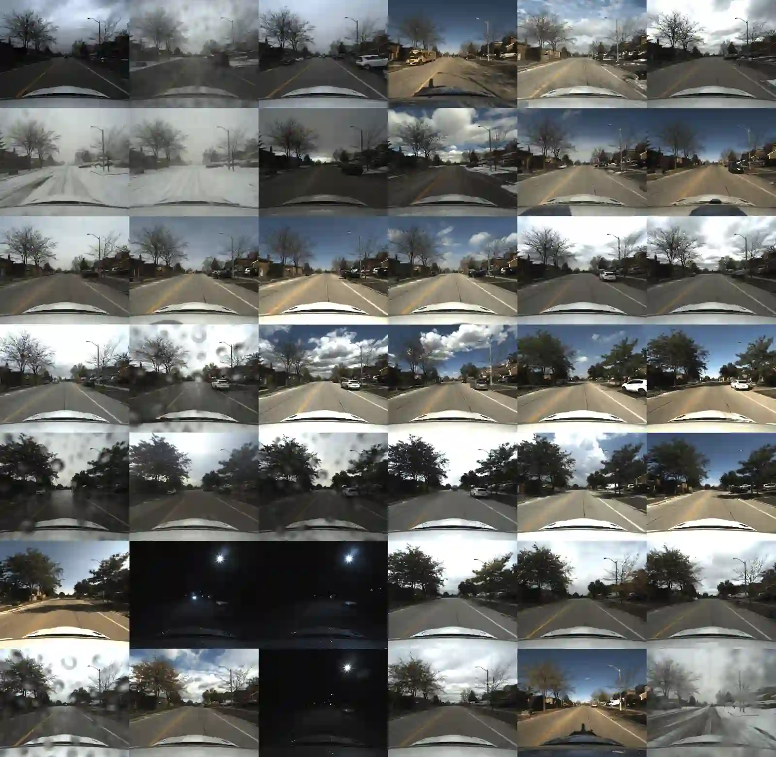
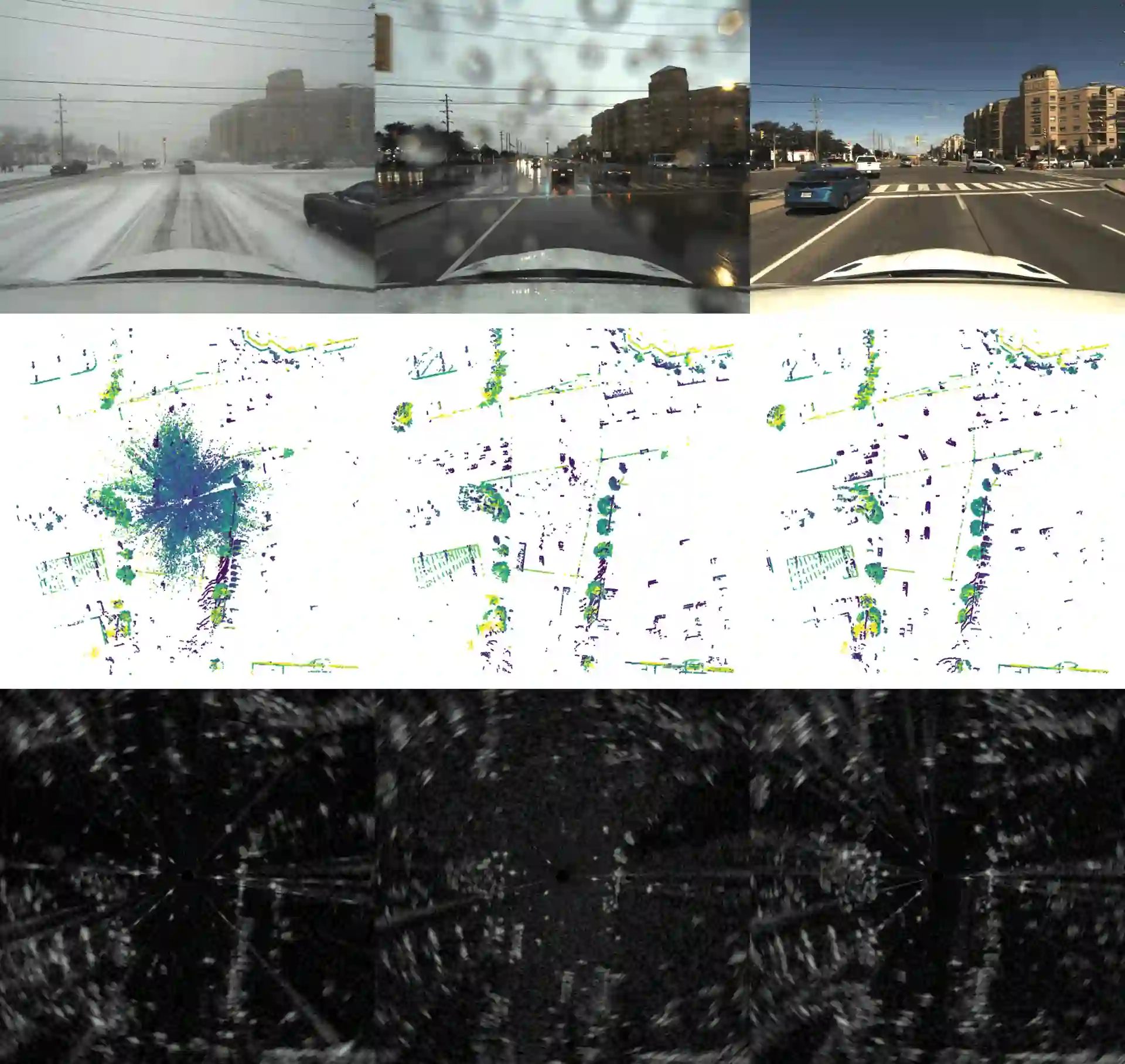
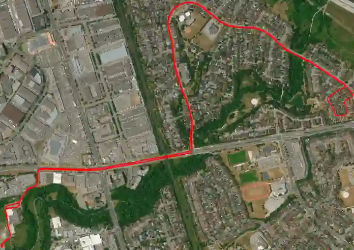
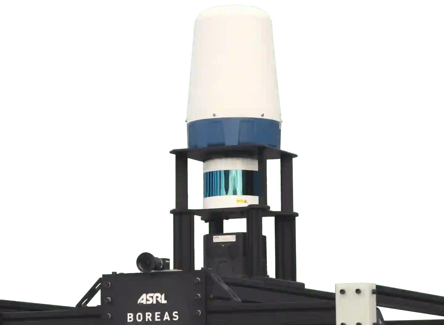
The Boreas dataset was collected by driving a repeated route over the course of one year, resulting in stark seasonal variations and adverse weather conditions such as rain and falling snow. In total, the Boreas dataset includes over 350km of driving data featuring a 128-channel Velodyne Alpha Prime lidar, a 360$^\circ$ Navtech CIR304-H scanning radar, a 5MP FLIR Blackfly S camera, and centimetre-accurate post-processed ground truth poses. Our dataset will support live leaderboards for odometry, metric localization, and 3D object detection. The dataset and development kit are available at https://www.boreas.utias.utoronto.ca
翻译:Boreas数据集通过在一年的周期内沿重复路线驾驶采集获得,由此呈现出显著的季节性变化和雨雪等恶劣天气条件。该数据集总计包含超过350公里的驾驶数据,搭载了128线Velodyne Alpha Prime激光雷达、360° Navtech CIR304-H扫描雷达、5MP FLIR Blackfly S摄像头,以及厘米级精度的后处理真值位姿。我们的数据集将支持里程计、度量定位和三维目标检测的实时排行榜。数据集及开发工具包可在https://www.boreas.utias.utoronto.ca获取。