

With the growing interest in satellite networks, satellite-terrestrial integrated networks (STINs) have gained significant attention because of their potential benefits. However, due to the lack of a tractable network model for the STIN architecture, analytical studies allowing one to investigate the performance of such networks are not yet available. In this work, we propose a unified network model that jointly captures satellite and terrestrial networks into one analytical framework. Our key idea is based on Poisson point processes distributed on concentric spheres, assigning a random height to each point as a mark. This allows one to consider each point as a source of desired signal or a source of interference while ensuring visibility to the typical user. Thanks to this model, we derive the probability of coverage of STINs as a function of major system parameters, chiefly path-loss exponent, satellites and terrestrial base stations' height distributions and density, transmit power and biasing factors. Leveraging the analysis, we concretely explore two benefits that STINs provide: i) coverage extension in remote rural areas and ii) data offloading in dense urban areas.
翻译:随着卫星网络日益受到关注,卫星-地面集成网络(STINs)因其潜在优势而备受瞩目。然而,由于缺乏适用于STIN架构的可处理网络模型,目前尚无法开展相关分析研究来评估这类网络的性能。本文中,我们提出了一种统一网络模型,将卫星网络和地面网络联合纳入同一分析框架。我们的核心思想基于分布在同心球面上的泊松点过程,并为每个点赋予随机高度作为标记。这使得每个点既可作为期望信号源也可作为干扰源,同时确保对典型用户的可见性。借助该模型,我们推导出STIN覆盖概率作为主要系统参数(包括路径损耗指数、卫星与地面基站的高度分布及密度、发射功率和偏置因子)的函数。基于该分析,我们具体探索了STIN提供的两大优势:i) 偏远农村地区的覆盖扩展,以及ii) 密集城区的数据卸载。




相关内容
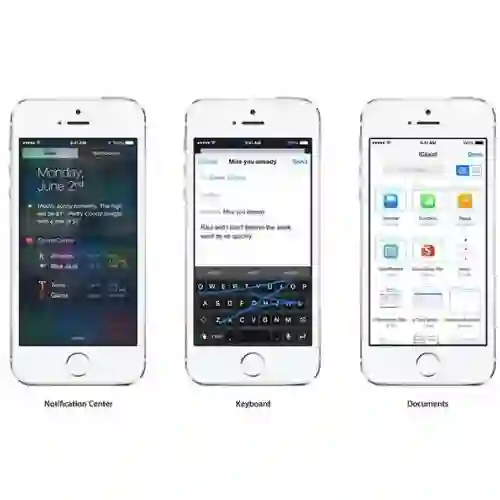
- Today (iOS and OS X): widgets for the Today view of Notification Center
- Share (iOS and OS X): post content to web services or share content with others
- Actions (iOS and OS X): app extensions to view or manipulate inside another app
- Photo Editing (iOS): edit a photo or video in Apple's Photos app with extensions from a third-party apps
- Finder Sync (OS X): remote file storage in the Finder with support for Finder content annotation
- Storage Provider (iOS): an interface between files inside an app and other apps on a user's device
- Custom Keyboard (iOS): system-wide alternative keyboards
Source: iOS 8 Extensions: Apple’s Plan for a Powerful App Ecosystem




 微信扫码咨询专知VIP会员