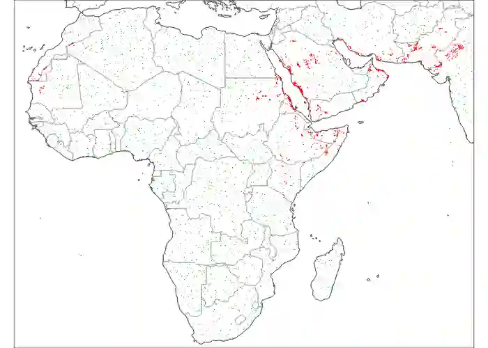
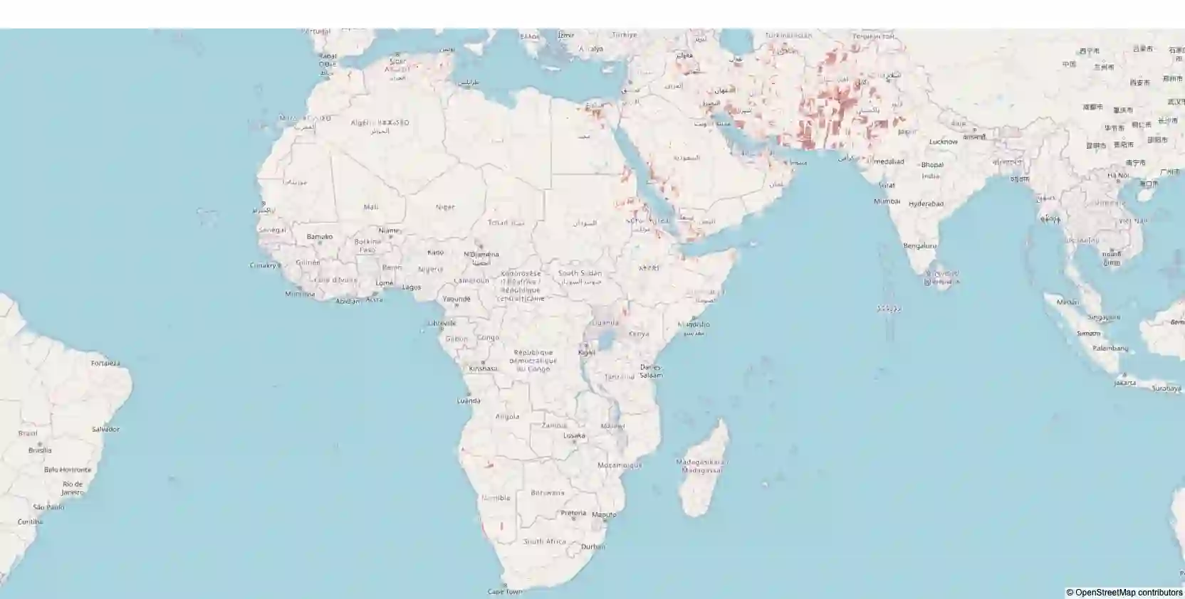
Desert locust swarms present a major threat to agriculture and food security. Addressing this challenge, our study develops an operationally-ready model for predicting locust breeding grounds, which has the potential to enhance early warning systems and targeted control measures. We curated a dataset from the United Nations Food and Agriculture Organization's (UN-FAO) locust observation records and analyzed it using two types of spatio-temporal input features: remotely-sensed environmental and climate data as well as multi-spectral earth observation images. Our approach employed custom deep learning models (three-dimensional and LSTM-based recurrent convolutional networks), along with the geospatial foundational model Prithvi recently released by Jakubik et al., 2023. These models notably outperformed existing baselines, with the Prithvi-based model, fine-tuned on multi-spectral images from NASA's Harmonized Landsat and Sentinel-2 (HLS) dataset, achieving the highest accuracy, F1 and ROC-AUC scores (83.03%, 81.53% and 87.69%, respectively). A significant finding from our research is that multi-spectral earth observation images alone are sufficient for effective locust breeding ground prediction without the need to explicitly incorporate climatic or environmental features.
翻译:沙漠蝗群对农业和粮食安全构成重大威胁。针对这一挑战,本研究开发了一种可直接投入运营的蝗虫繁殖地预测模型,有望增强早期预警系统和靶向防控措施。我们从联合国粮农组织(UN-FAO)的蝗虫观测记录中整理了一个数据集,并利用两种时空输入特征进行分析:遥感环境与气候数据,以及多光谱地球观测影像。我们采用定制的深度学习模型(三维卷积网络和基于LSTM的循环卷积网络),同时结合Jakubik等人(2023)最新发布的地理空间基础模型Prithvi。这些模型显著优于现有基线模型,其中基于Prithvi的模型(在NASA协调Landsat与Sentinel-2(HLS)数据集的多光谱影像上微调)取得了最高准确率、F1分数和ROC-AUC值(分别为83.03%、81.53%和87.69%)。本研究的一个重要发现是,仅凭多光谱地球观测影像即可有效预测蝗虫繁殖地,无需显式纳入气候或环境特征。